
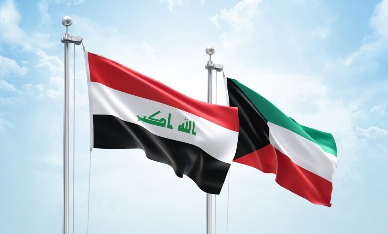
Iraq–Kuwait Dispute Erupts Over Maritime Access
Iraq has triggered a diplomatic dispute with Kuwait by submitting a map to the United Nations that shows coordinates related to its maritime zones. Kuwait argues this infringes on its sovereignty over its territorial waters and maritime features. This situation closely mirrors a scenario outlined by Mohammad Walid Youssef, head of ICGER, in his 2025 book, “Politics: Newtonian Rules and Quantum Principles.” In that work, he predicted Iraq might seek a larger share of coastal access in the future, based on the idea that a country’s geopolitical influence grows with its territory and coastline.
On 22 February 2026, Kuwait’s Ministry of Foreign Affairs called in the chargé d’affaires at the Iraqi embassy to deliver a formal protest note regarding what it called a breach of Kuwait’s sovereignty, after Iraq submitted a list of coordinates and a map to the United Nations.
Iraq’s Ministry of Foreign Affairs responded by issuing a statement that rejected Kuwait’s stance. It stated that its decision was based on Iraqi laws, decisions, and official positions regarding Iraq’s maritime rights and jurisdiction, in line with the 1982 United Nations Convention on the Law of the Sea and international law. Iraq explained that the move aimed to consolidate and formalize previous legal procedures related to Iraq’s maritime zones into a single document supported by precise coordinates, reflecting recent developments in international maritime law, including the expansion of coastal states’ jurisdictions.[i]
In the third chapter of his book, Dr. Youssef states that “geopolitical power is directly proportional to territorial size, sea frontage length, coastal oversight over seas and oceans, and population size, each related through a precise mathematical relationship.”
He contends that this geopolitical force has historically led kingdoms and states to either expand, develop good relations, and share interests, or – when combined with ambition and greed – to incite crises, sedition, and war. He also argues that larger territories and longer coastlines increase a state’s geopolitical influence on its neighbors and globally, while smaller territories and shorter coastlines diminish that influence.
Applying this framework to “landlocked” or “bottlenecked” states with limited maritime access, he argues that countries such as Ethiopia and Iraq will eventually confront their smaller neighbors with wider coastal access. These conflicts aim to overcome borders and reach the sea, often resulting in crises, instability, or war. Regarding Iraq–Kuwait, he believes that ongoing geopolitical tensions will persist until Iraq secures a significant stretch of the Gulf coastline. He also foresees another crisis between Iraq and Kuwait in the coming years if Kuwait continues to limit Iraq’s access to Gulf waters.
[i] https://www.khaleejtimes.com/world/gulf/kuwait-protest-iraq-maritime-map-gcc-allies-support